

Land Surveying and Site Documentation
Topographic surveys, site scans, construction stakeouts and existing-conditions site plans, delivered with survey-grade GNSS control and a licensed Professional Land Surveyor on the team.
Request a quoteGNSS base and rover control · Topographic and site plans · Construction stakeout · Scan plus survey in one visit
Buildings sit on sites, and the site has to be right too. We combine GNSS survey control with laser scanning to produce topographic surveys, site plans and stakeouts that tie your building documentation to real-world coordinates. Work requiring a licensed signature is completed with our Professional Land Surveyor partner.
We serve developers, architects, engineers and contractors in New York City, Rockland and Westchester counties, the Hudson Valley and Catskills, Long Island and New Jersey.
What you receive
Topographic surveys
Grades, contours, spot elevations, curbs, utilities and site features.
Existing-conditions site plans
Building footprints, paving, walls, fences, trees and improvements.
Construction stakeout
Layout of building corners, columns, utilities and gridlines from the design drawings.
Site laser scanning
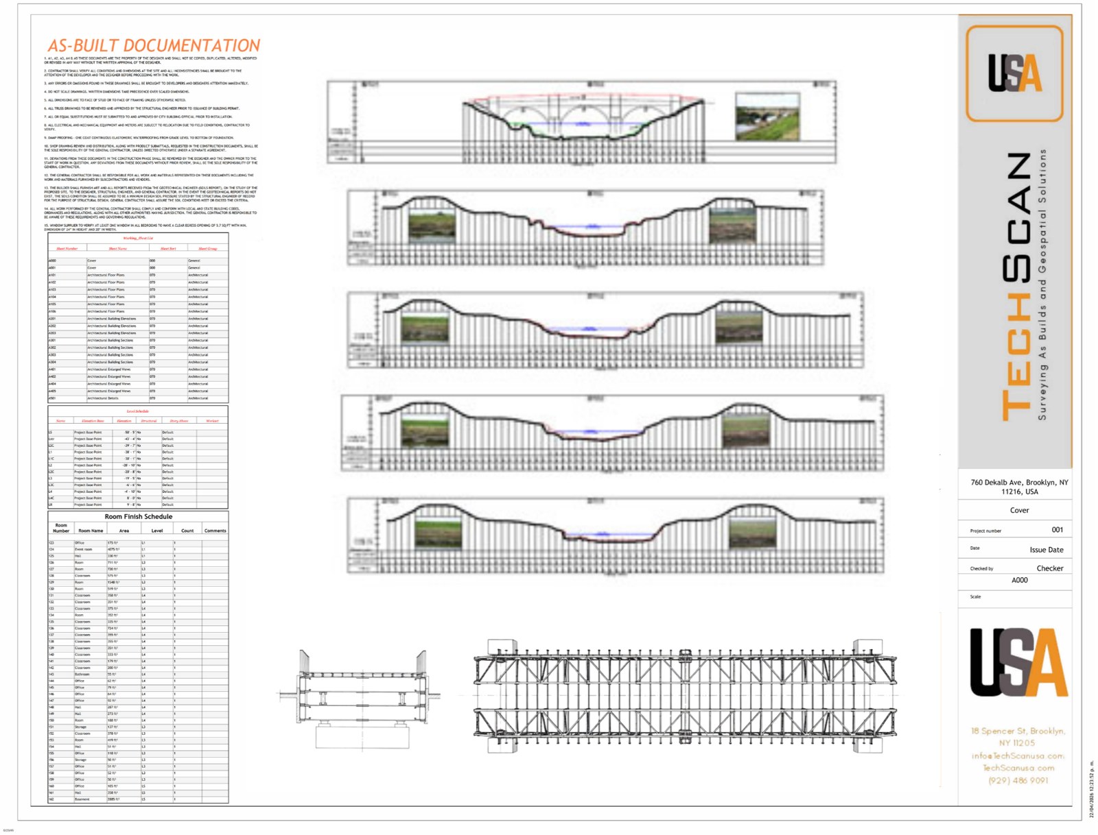
Dense point clouds of sites, retaining walls, bridges and infrastructure.
Elevation certificates and spot elevations
Measured elevations for design, drainage and compliance.
Survey-grade control
GNSS control networks that let scan data and drawings share one coordinate system.
One team for the building and the site
Most firms hand you to a separate surveyor for the site. We bring the GNSS rover and the scanner to the same visit, so your building as-builts and your site plan line up from day one.
- GNSS base-rover control on every site
- Scan and survey combined in one visit
- Licensed PLS for stamped work
- Site data delivered in your coordinate system
How a project runs
Scope
Tell us the parcel, the deliverable and whether a stamped survey is required.
Field work
GNSS control set, site measured and scanned, improvements located.
Office
Data reduced, drawings produced and checked.
Delivery
DWG and PDF plans, point clouds and reports delivered on the agreed date.
Get a quote for land surveying & site documentation.
Send the address and what you need. You will have a clear price and a site-visit date the same business day.